Corey Scher
Postdoc
Oregon State University
Biography
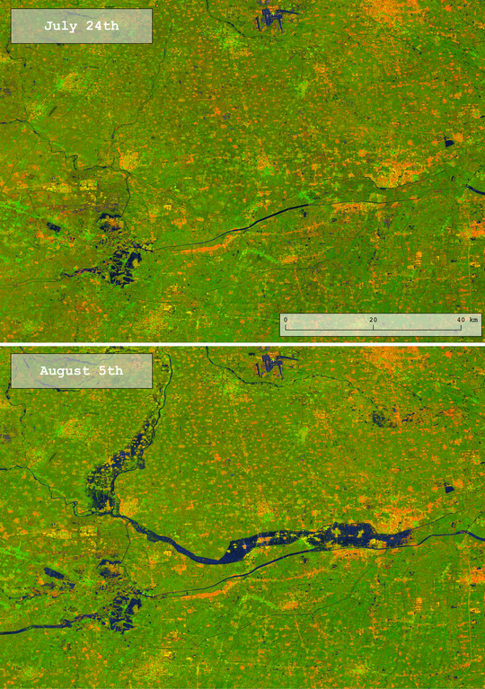
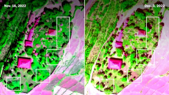
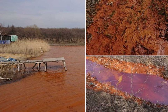
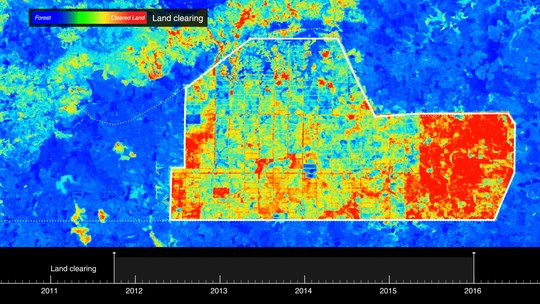
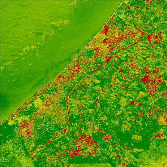
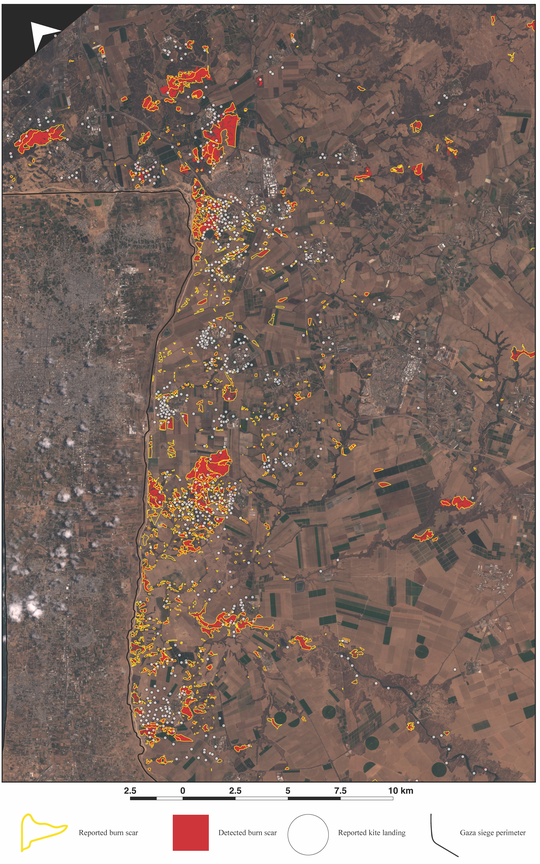
I study landscape changes in armed conflict zones and disaster settings with satellite radar data, cloud computing, and methods from the geosciences.
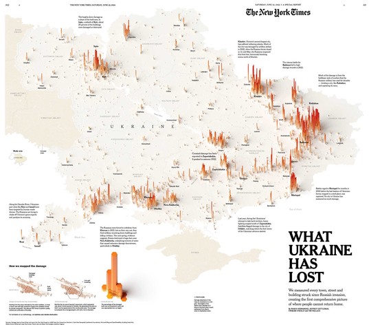
My work is featured in reporting from publications including the New York Times, Financial Times, Washington Post, BBC, CNN, NPR, NBC, Bloomberg, AP, and cited in reports from international humanitarian organizations. I’ve been interviewed about mapping wartime damage by organizations including Scientific American, Science Magazine, Bloomberg MapLab, NPR, Marketplace, Der Standard, the National Press Photographers Association, Undark, Democracy Now, and my alma mater.
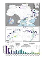
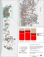
I’m a postdoc in the Conflict Ecology group at Oregon State. I also organize with the Conflict and Environment Academic Network and the Decentralized Damage Mapping Group. My research and organizing work contributes to an emergent science and practice of conflict Earth observation, seeking to better understand the environmental consequences of armed conflicts using satellite data.
Interests
- conflict earth observation
- humanitarian geospatial intelligence
- synthetic aperture radar (interferometry)
Education
PhD in Earth and Environmental Sciences, 2025
City University of New York, Graduate Center
MS in Geology, 2019
City University of New York, City College
Bachelors in Geology, 2017
University of California, Berkeley