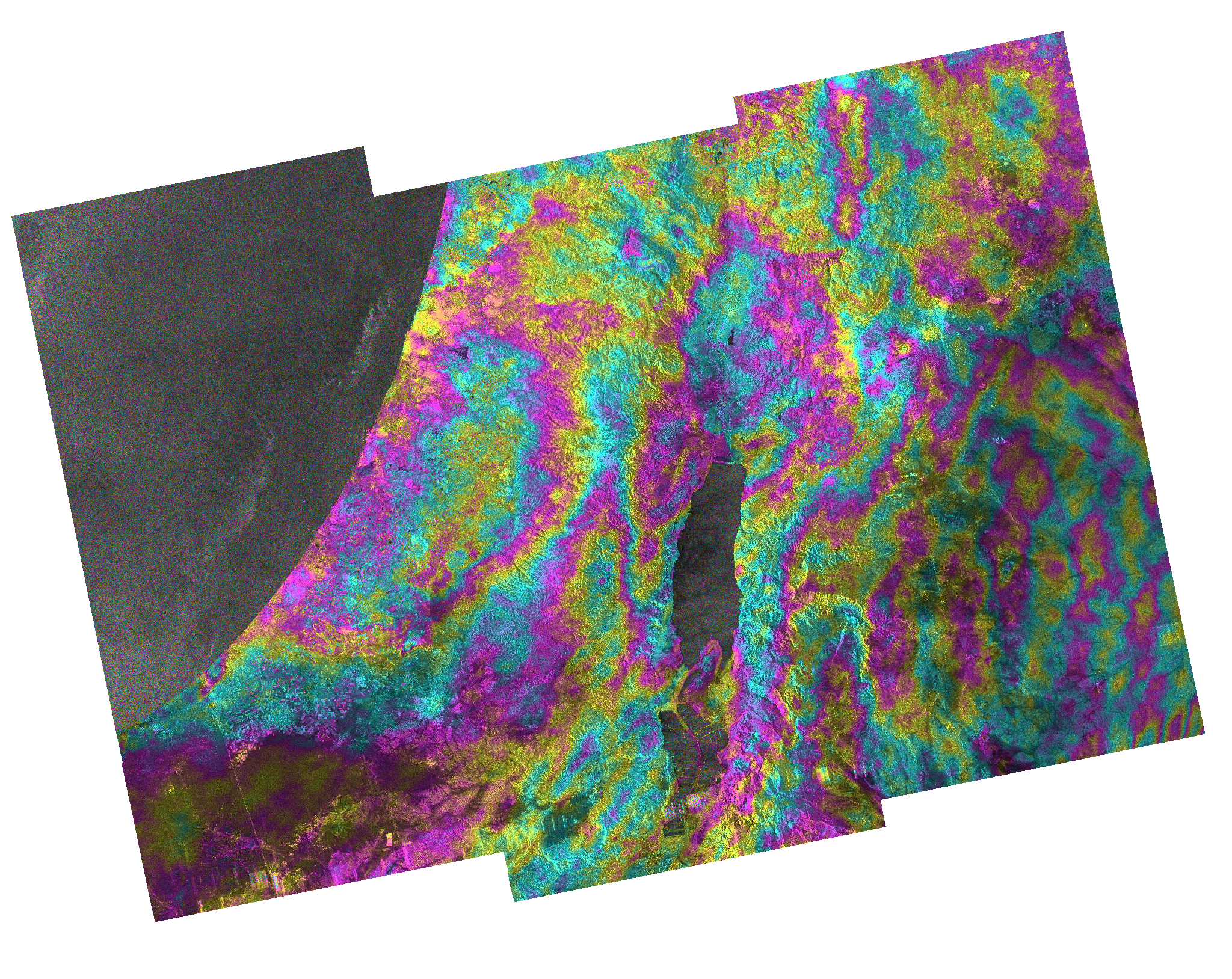
Corey Scher

Corey Scher

PhD Candidate in Earth and Environmental Sciences

City University of New York

Biography

I work to better understand the physical impacts of war and conflict by advancing the science of conflict Earth observation.

My research on conflict impacts is featured in reporting from publications like the New York Times, Financial Times, Washington Post, BBC, CNN, NPR, Bloomberg and many others. I’ve been interviewed about mapping wartime damage by organizations including Scientific American, Marketplace, and Democracy Now. My work is also cited in reports from international humanitarian organizations and as lines of evidence in litigation related to international humanitarian law.

I’m a PhD candidate at the CUNY Graduate Center and coordinate closely with the Conflict Ecology group at Oregon State. I also organize with the Conflict and Environment Academic Network and the Decentralized Damage Mapping Group.

Interests

  • conflict earth observation
  • synthetic aperture radar (interferometry)

Education

  • PhD in Earth and Environmental Sciences, (expected 2024)

    Graduate Center at the City University of New York

  • MS in Geology, 2019

    City University of New York

  • Bachelors in Geology, 2017

    University of California, Berkeley

Projects

*

Tracking the footprint of war

AGU 2024 Fall Meeting session on the science and practice of conflict impact assessment

Weekly building damage surveys in Gaza

Utilized by humanitarian organizations and cited by hundereds of media reports in publications of record around the world, our data serve an important role in public understanding of the rapid pace and vast extent of the impacts of the Israeli bombardment and invasion on the Gaza Strip.

Mapping damage to human settlements in Ukraine with the New York Times

Coherent change detection for nationwide monitoring of damage to human settlements during the Russian invasion of Ukraine.

NASA/USAID training on Earth observation data for urban hazard and vulnerability assessment in Central America

I traveled to San Salvador to co-teach a training for regional governmental organizations on leveraging NASA Earth observation data to better understand vulnerability of urban populations to hazards and disasters like earthquakes and floods.

‘Sacrificing part for the whole’

Mapping floodwater extent to support investigative journalism at the Washington Post.

Detecting new burial sites in Tigray

Analysis of very high resolution satellite optical imagery with the visual investigation team at the Washington Post.

2023 AGU Fall Meeting Session on Physical and Environmental Impacts of War

Co-convened a session on scientific perspectives on the physical and environmental impacts of war.

NASA Applied Remote Sensing Training in Humanitarian Applications

Co-taught a session for Earth observation practitioners on the use of NASA open-source processing tools for monitoring damage to built-up areas during military conflict.

Subsidence monitoring in transboundary aquifers

I started processing interferometric synthetic aperture radar (InSAR) data in conflict settings in 2015 to measure subsidence patterns in transboundary aquifers. I include a short blog-style post introducing this work and where it stands today.

Fires on land concessions for palm cultivation in Indonesia

Remote sensing of burn patterns in support of an investigation around the intentionality of peatland fires for forest clearing.

Herbicide drift from Israel to Gaza

Remote sensing of decreases in normalized difference vegetation index (NDVI) coincident with Israeli military spraying of herbicide along the Gaza siege perimeter.

Mapping wildfire scars in southern Israel caused by incendiary kites launched from the Gaza Strip in 2018

I tested whether reported wildfire scars from incendiary kites launched within the Gaza Strip could be detected in open access satellite radar and optical data in southern Israel.

Mapping glacier melt signals with satellite radar and scaleable cloud computing

My masters fellowship was in support of a NASA Cryosphere program grant to research glacier melt timing and duration across all mapped glaciers in the Hindu Kush Himalaya region.

Reseraching some of the youngest land on Earth

I had the privilege to help with a research experiment at the edge of some of the newest land on Earth to investigate how plants help to build land naturally along the Louisiana coast.

Leveraging bathymetric LiDAR data to study the geometry of river channels

I had a two-year undergraduate-level research apprenticeship in the Environmental Systems Dynamics Lab at UC Berkeley to study fundamental relationships in how rivers change shape across their course using very high resolution bathymetric LiDAR data.

Recent Publications

Mapping seasonal glacier melt across the Hindu Kush Himalaya with time series synthetic aperture radar (SAR)

Current observational data on Hindu Kush Himalayas (HKH) glaciers are sparse, and characterizations of seasonal melt dynamics are …
Mapping seasonal glacier melt across the Hindu Kush Himalaya with time series synthetic aperture radar (SAR)

Contact

  • 160 Convent Ave, New York, NY 10031
  • DM me